Focus Areas

Drone Mapping
We use drones for aerial surveys and mapping. With these pictures we create 3D models, digital elevation and terrain models as well as orthophoto mosaics. Which in turn can be used in a wide variety of fields such as Urban planning, infrastructure, maps, mining and many more.
Drone Inspections
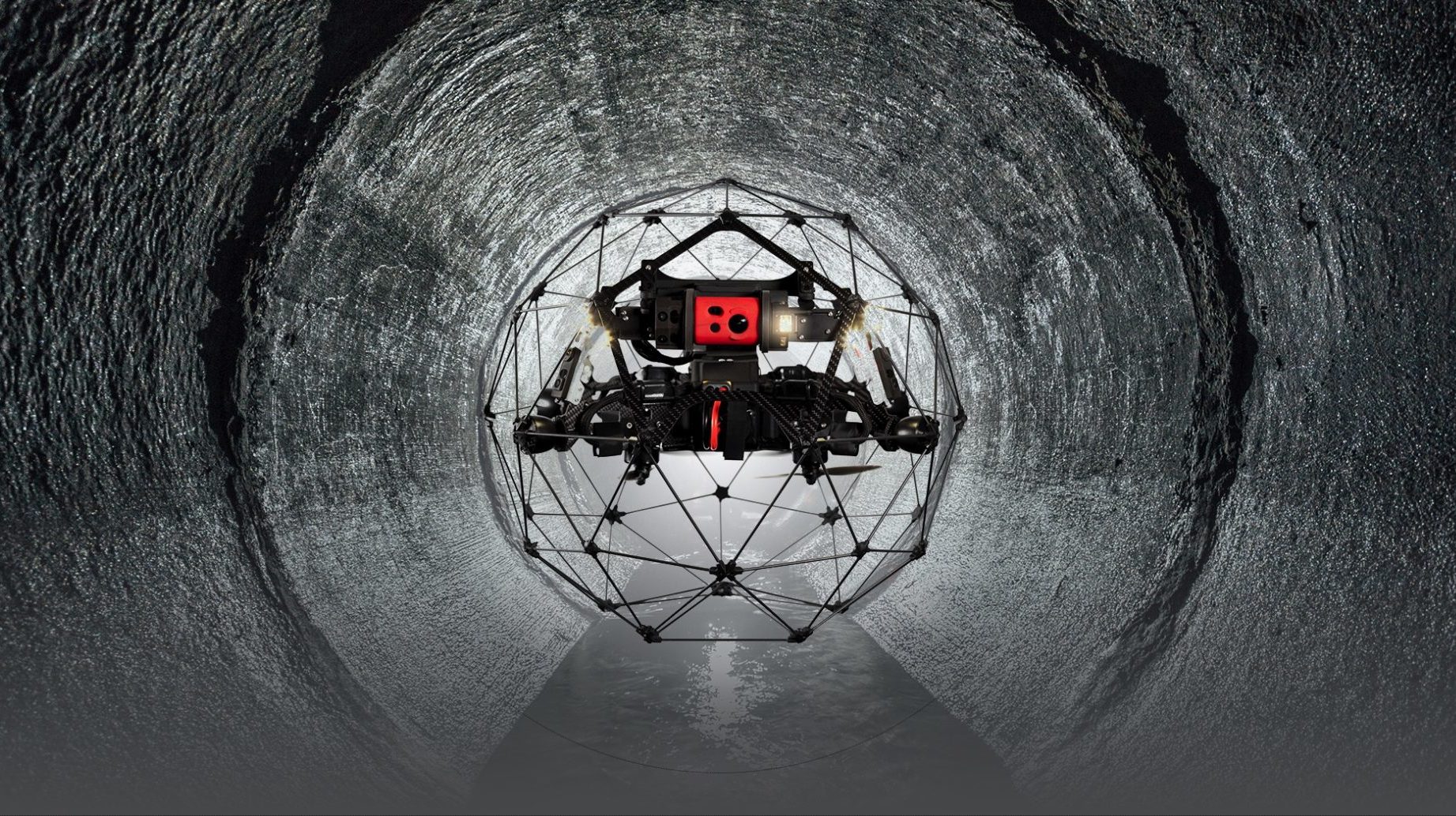
Visual inspections by drone are carried out on a wide range of objects from wind turbines, offshore platforms, internal tanks, buildings, high voltage pylons, rail road portals and bridges.
Drone Visuals
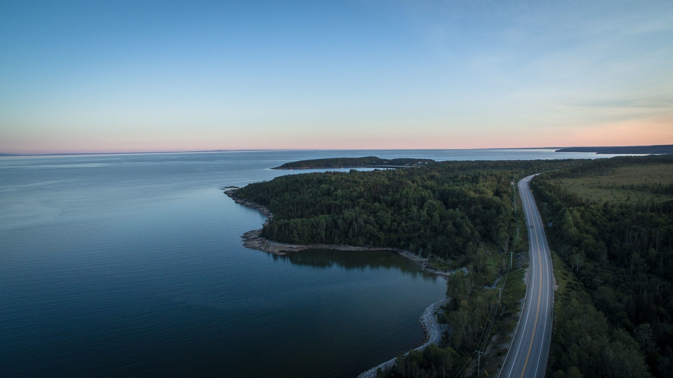
Vi skapar högkvalitativa flygbilder med hjälp av drönare för både fotografering och videoproduktion.
Med allt från 360 bilder eller överblicksbild eller film till video material för exempelvis reklamfilm.
Say Hello!
Do you have a question, thoughts or want to know more? Interested in applying drones in your company or in your sector. Get in touch and we will find a solution that works for you. Challenge us!
